Southern Colorado is more than a destination, it is an all inclusive outdoors experience. Follow along this 5-day trip through rugged mountain landscapes, pristine alpine lakes, picturesque waterfalls, and quaint mountain towns. This blog will take you along a 5 day Telluride and Silverton Colorado camping trip, with the best spots to pitch your tent. No need to take a trip to the Swiss Alps just yet, Southern Colorado is the ultimate summer or winter destination for mountain lovers, right here in the U.S.!
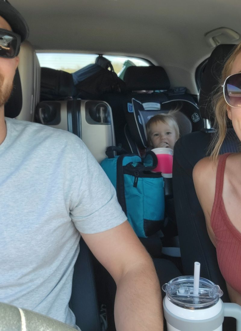
Join Jordan and I on our first long trip with our make-shift truck bed tent! We planned this trip during the Fourth of July holiday and immediately fell in love with Colorado.
Our trip starts in Mesa, AZ and ends in Silverton, Colorado (8-9hrs one way). We hope this guide helps you plan your own camping trip and experience this one of a kind state.
***Affiliate Links are sometimes used in many of our posts. As an Amazon Associate, and affiliate publisher for several companies, we earn a small commission from qualifying purchases and will be compensated if you make a purchase after clicking the links. Check out our Privacy Policy and Disclosures page for more information. Unless otherwise noted, all photos, designs, and graphics are original to The ExplorList.
Not sure what to pack for your camping trip? Check out our complete Camping List. Flying into the area and want to rent an all-terrain vehicle? Check out the Turo post for information on the new way to rent cars!
DAY 1 (JULY 2ND): Petrified Forest, Telluride Colorado Camping-Alta Lakes
Petrified Forest

If you are driving from Arizona as we did, a great stop to add to your itinerary is the petrified forest. Otherwise, you can plan your trip based on how you get to Colorado, or if you fly in and rent a vehicle. From Mesa, AZ it was a 3-hour and 11-minute drive, and we arrived at the petrified forest just before sunset.
Thankfully there was 30-40 min of time before the park closed. Hours for the park are 8 am-5 pm, so if you want more time to explore, you can start your Day 1 trip earlier.
The petrified forest is an American National Park located in Navajo and Apache Counties (North Eastern, AZ). A stop is definitely worth your time to see the expansive vistas and stark moon-like landscapes. It’s called the Petrified Forest because of the petrified trees that turned completely to stone during the last 225 million years.
There are overlooks, short trails, paleo labs, and backcountry hikes for all interests and abilities. A perk of the park is that it’s pet friendly! Owners must bring poop bags and keep their pets on a leash. Legend says that you will be cursed with bad luck if you steal a piece of the petrified wood, so leave only with memories and pictures!

Telluride Colorado Camping- Alta Lakes
From the petrified forest, Alta Lakes is around a 5-hour drive. We left the petrified forest at about 5:10 pm and arrived at our campsite at about 10:30 pm. I highly recommend a high clearance vehicle to access, however it is not required.
Alta Lakes is a popular free camping and fishing area just outside of Telluride. There are 20 designated camping spots that are first-come-first-serve. If you are concerned about securing a spot, I recommend arriving earlier. Thankfully, we were lucky to find an open spot so late!
DAY 2 (JULY 3RD): Alta Lakes Hike, Ghost Town, Telluride, Bridal Veil Falls, Ouray, Million Dollar Highway, Silverton, Cinnamon Pass
Alta Lakes Hike
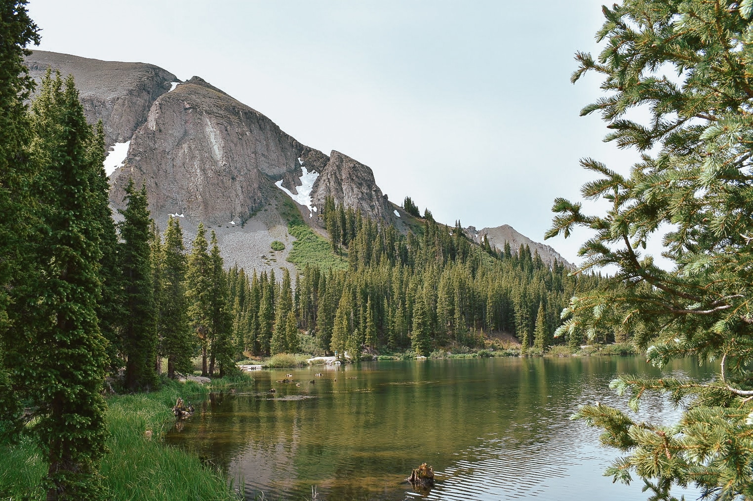
After a good night’s sleep, I highly recommend taking a stroll around the serene lakes surrounding the campsite. Alta Lakes consists of three small lakes, and it is inspiring to see the tall mountain peaks reflected in the clear water.
In the morning, there are people fishing and kayaking in the water, enjoying the cool 11,300 ft. elevation. This is a great start to acclimate your body if you are coming from a lower elevation, and get you ready for the big hike on Day 4!
Ghost Town
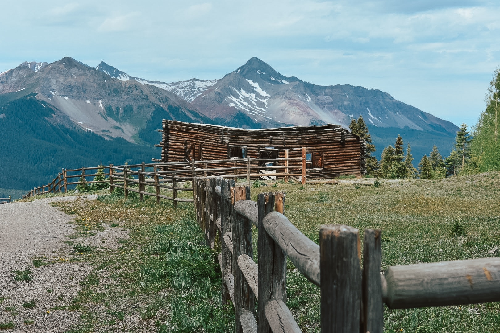
Next, be sure to stop at the Alta Ghost Town as you head towards your next destination, Telluride.
As you drive back down the mountain, you can stop and see several dilapidated homesteads. Alta was once a small community of miners but was abandoned after the mill fire in 1948.
Spend some time exploring the area and then make your way to our next stop, Telluride!
Telluride
From Alta, it’s about a 38-minute drive (13 miles) to downtown Telluride. Telluride is a former Victorian mining town located in the Rocky Mountains of Colorado. This picturesque town is set in a box canyon amid forest peaks and at the base of a popular ski/golf resort.
In town, the elevation is 8,750 with a population of 1,965. Most say the town was named after tellurium (a non-metallic) element associated with rich mineral deposits of gold and silver. Or from a castaway call, “To Hell You Ride” shouted by loved ones who knew of the town’s boisterousness.
The best time to visit is said to be mid-June to August and mid-November to early April.
Driving through town you’ll see the epic peaks surrounding the area, and may be lucky enough to spot a herd of elk in the valley. After stopping to get gas, make your way to Bridal Veil Falls for a stunning waterfall hike.
Bridal Veil Falls
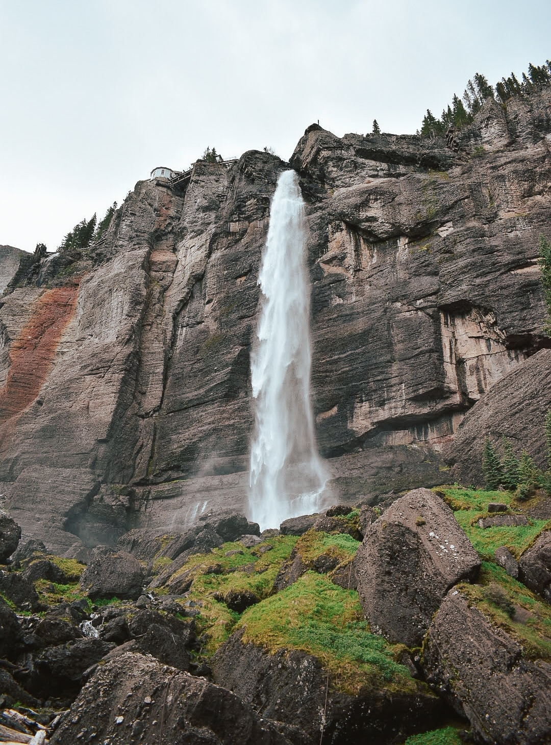
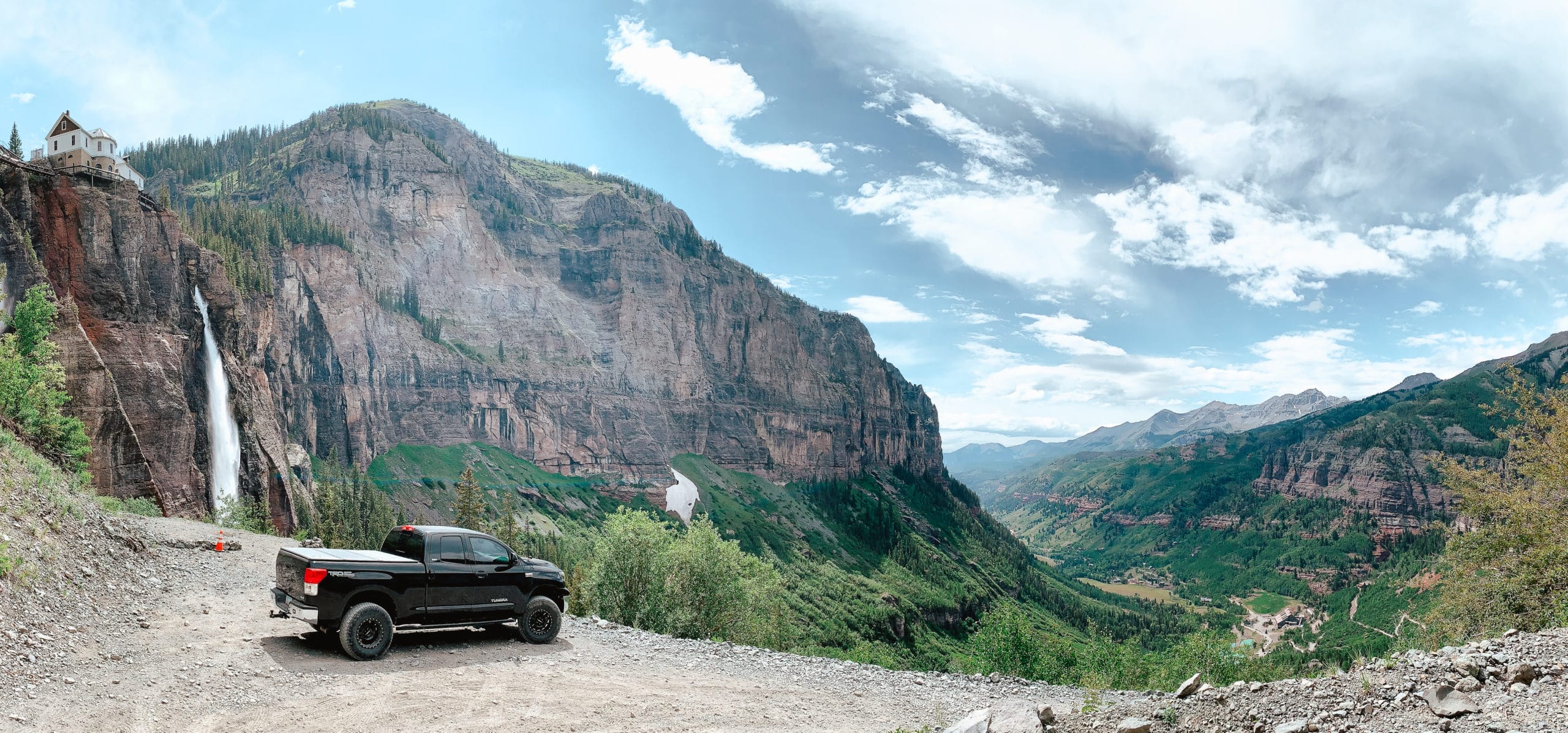
Located near the historic power plant, Bridal Veil Falls is known for being the tallest free-falling waterfall in Colorado. You can access the waterfall by hiking or driving (a high clearance vehicle is recommended).
It is 16 minutes from downtown, and also the entrance point for the popular (and difficult) off-roading trail, Black Bear Pass.
Bridal Veil Falls hike details:
- Distance: 4 miles rt
- Elevation: 9,020ft @ trailhead, max elevation: 10,400ft
- Elevation Gain: 1,380 ft.
- Difficulty: easy-moderate
You don’t have to hike to get great views of the waterfall. Just make your way driving further up the trail to see the falls, the historic power plant, and a jaw-dropping view of Telluride. The view at the top alone is an absolute must-do when you are visiting Telluride.
Ouray
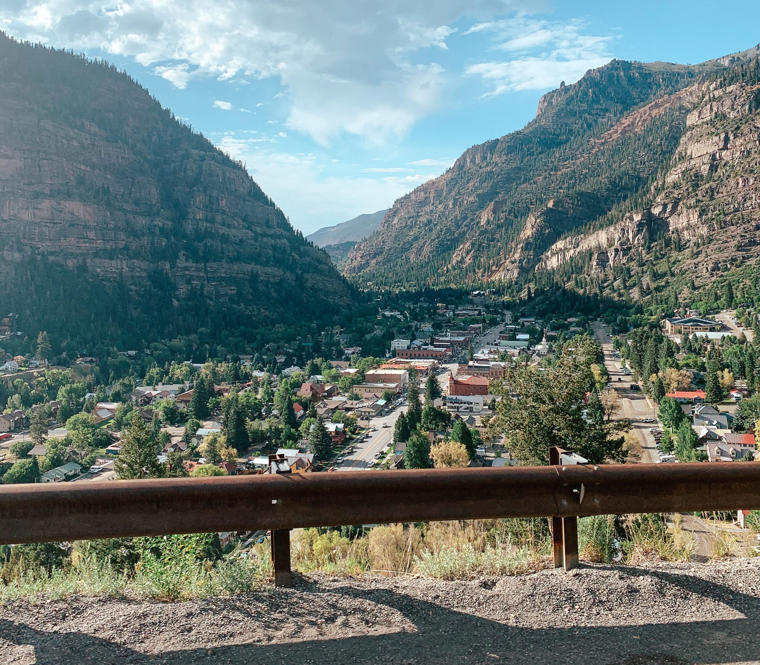
Pronounced (You-Ray), you can remember by saying to yourself “Hooray for Ouray!”, is a beautiful mountain town about one hour from Telluride. The name Ouray means “Arrow” in the Ute language, named after a Ute Indian tribe leader in the late 19th century.
Ouray is known as the “Switzerland of America” with impeccable views of high mountains rising from three and a half sides of the town.
In the winter, Ouray is the climbing capital of the U.S. and best known for ice climbing on waterfalls! The pass between Ouray, called Imogene Pass, is also extremely popular for off-road enthusiasts (4-wheel drive roads class 4.5). We briefly stopped in Ouray, but plan to make a longer visit for the ice climbing festival in the winter.
Million Dollar Highway

This is a MUST-SEE! And conveniently, it’s right on your way from Ouray to Silverton.
The Million Dollar Highway is a canyon-clinging stretch of spectacular roadway on U.S. Route 550 that runs from Montrose, CO to Bernalillo, New Mexico. The namesake of this famous highway is said to be either because it cost so much to build, or the figurative price for those amazing San Juan Mountain Views.
Silverton Colorado Camping
Silverton is the main destination for this trip, where you will spend three out of the four nights camping. From Ouray to Silverton it’s 43 minutes (23.4 miles).
The city of Silverton is most famous for the Durango & Silverton Narrow Gauge Railroad, a former mine train, and now a National Historic Landmark. A popular tourist activity is to ride the train, a 3.5-hour ride that covers 45 miles of epic Colorado wilderness.
We planned to start our exploring in Cinnamon Pass and come back to the town on Day 3.
Camping at Cinnamon Pass

Be sure to stop in town to refuel yourself and your vehicle, and then make your way up Cinnamon Pass.
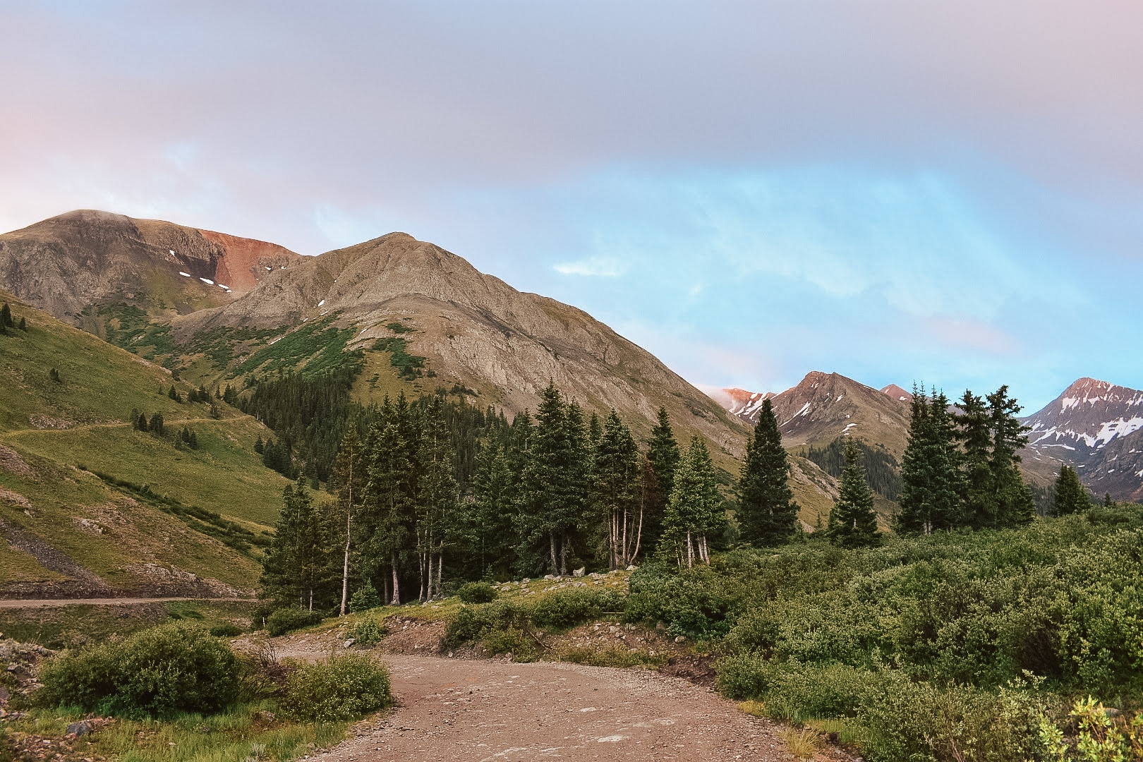
You can drive however far you feel comfortable up the pass, and then find a good spot to camp for the night. Cinnamon Pass is along Colorado’s historic Alpine Loop.
The pass is rated a moderate off-road trail, and may not be the best for beginners to take on the entire pass. An off-road vehicle is required if you are planning on going through the pass. You can always bring or rent side-by-sides, ATVs, dirt bikes, etc. to access the pass.
Driving up the pass you follow a winding river and after a while, the pass opens up into a beautiful valley. Similar to Alta, there are remains of the mining community scattered across the rugged landscape.
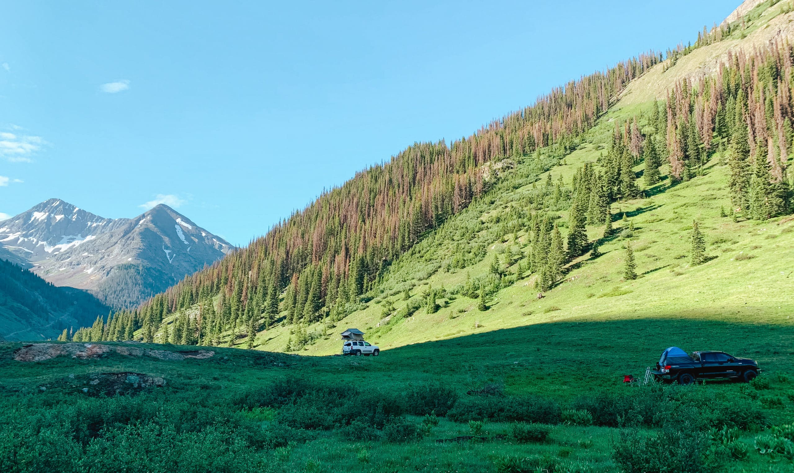
We found a trail on the side of the road which ended up being our camping site for the night. If you do not find a place to camp, you can always head back closer to downtown. Silverton Colorado camping is fantastic since there are many access points to forest roads and free camping. Once you’re set-up, relax, make dinner, and enjoy the mountain air!
Day 3 (July 4th): Downtown Silverton, Camp by Mineral Creek
Downtown Silverton
In the morning, head back to Silverton for a relaxing Day 3. Originally, the plan was to hike Ice Lakes today, but it ended up being a rainy day so conditions were not ideal.
After a lot of driving, we decided to spend the 4th of July exploring the town and taking it easy. Downtown Silverton has a main street full of unique shops, places to eat, and artist studios. Brown Bear Café is a delicious place to eat/drink, I recommend the blueberry lemonade for a refreshing drink.
The White Eyes Gallery is a great place to see local artwork, and the Silverton Welcome Center will help you learn more about the town’s rich history.
Camp by Mineral Creek
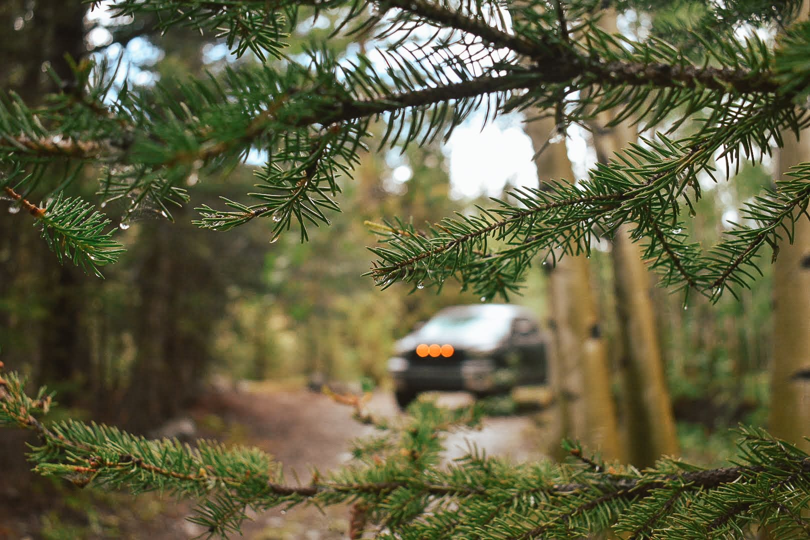
After a day touring the town, decide where you would like to set up camp for Day 3. We drove and explored west of Silverton until we found a hidden campsite by the Million Dollar Highway, along Mineral Creek.
This is a great spot tucked into the trees, which provided more privacy than the open valley the night before.
We cooked dinner on our portable stove, sat by the river, and ate while listening to the rushing water. Needless to say, this is a fantastic way to spend your evening!
Day 4 (July 5th): Island Lake via Ice Lakes Trail, Thee Pitts, Waterfall Campsite
Island Lake via Ice Lake Trail

Today is the day!
After packing up camp, head over to the Ice Lakes Trailhead to do the Island Lake via Ice Lake Trail. This was the hike we were most excited to do for this camping trip.
I advise you to arrive early because the parking lot fills up quickly, and be sure to wear layers with the changing weather. This hike is getting more popular and may require permits in the future, be sure to check the website for the current trail status.
Island Lake via Ice Lake Trail hike details:
- Distance: 7.7 miles rt
- Elevation Gain: 2,680 ft.
- Type: Out and Back
- Difficulty: Hard
Hiking in this area is best accessed from April to September and is dog friendly.
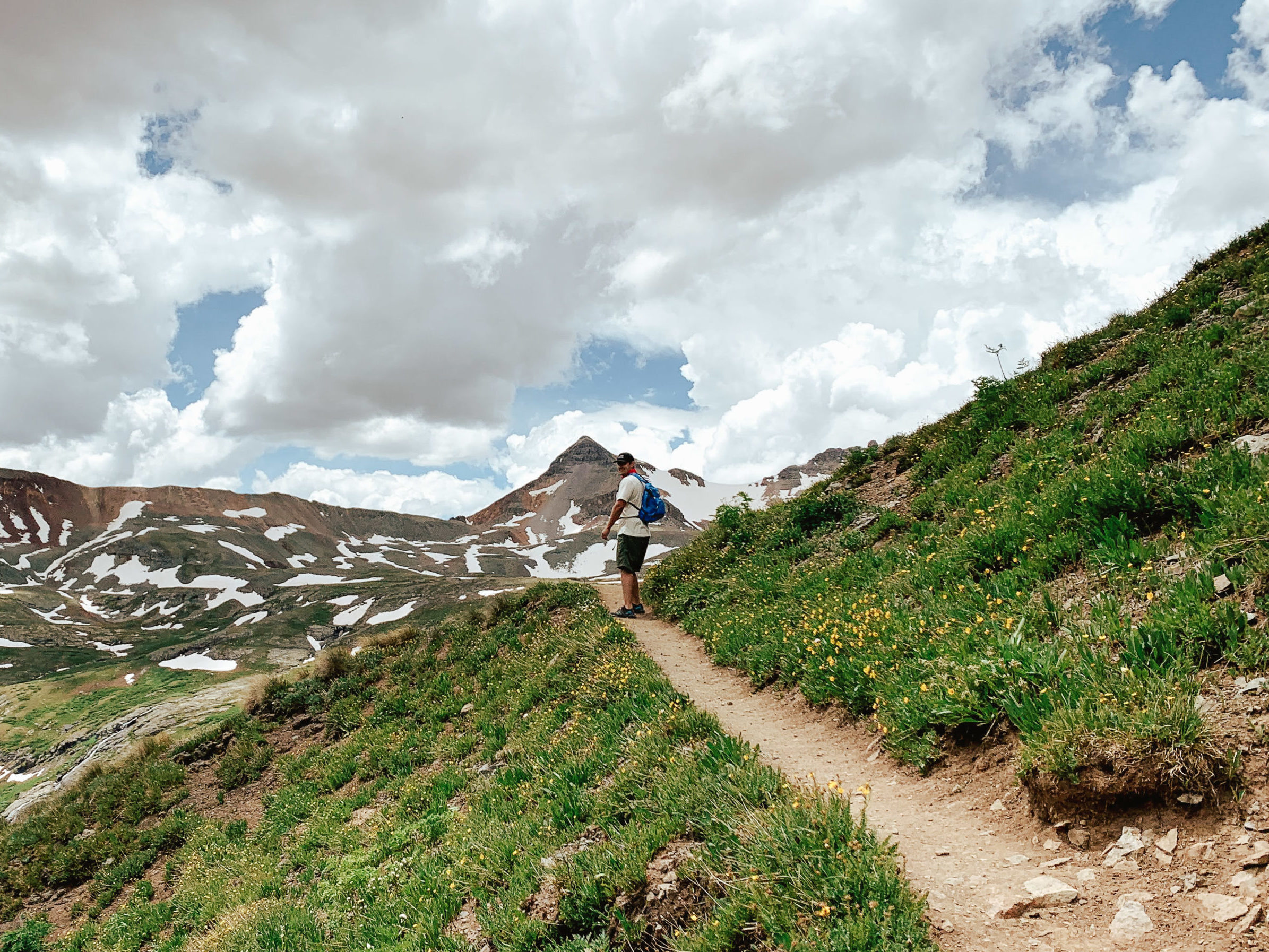
The trail begins with a gradual incline as you hike through the forest and by a flowing waterfall. Be sure to pack enough food, water, and first aid for this hike since it’s a harder hike with a large elevation gain.
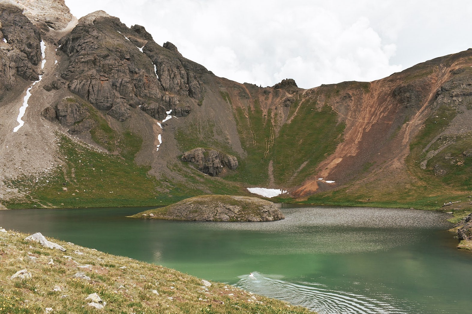
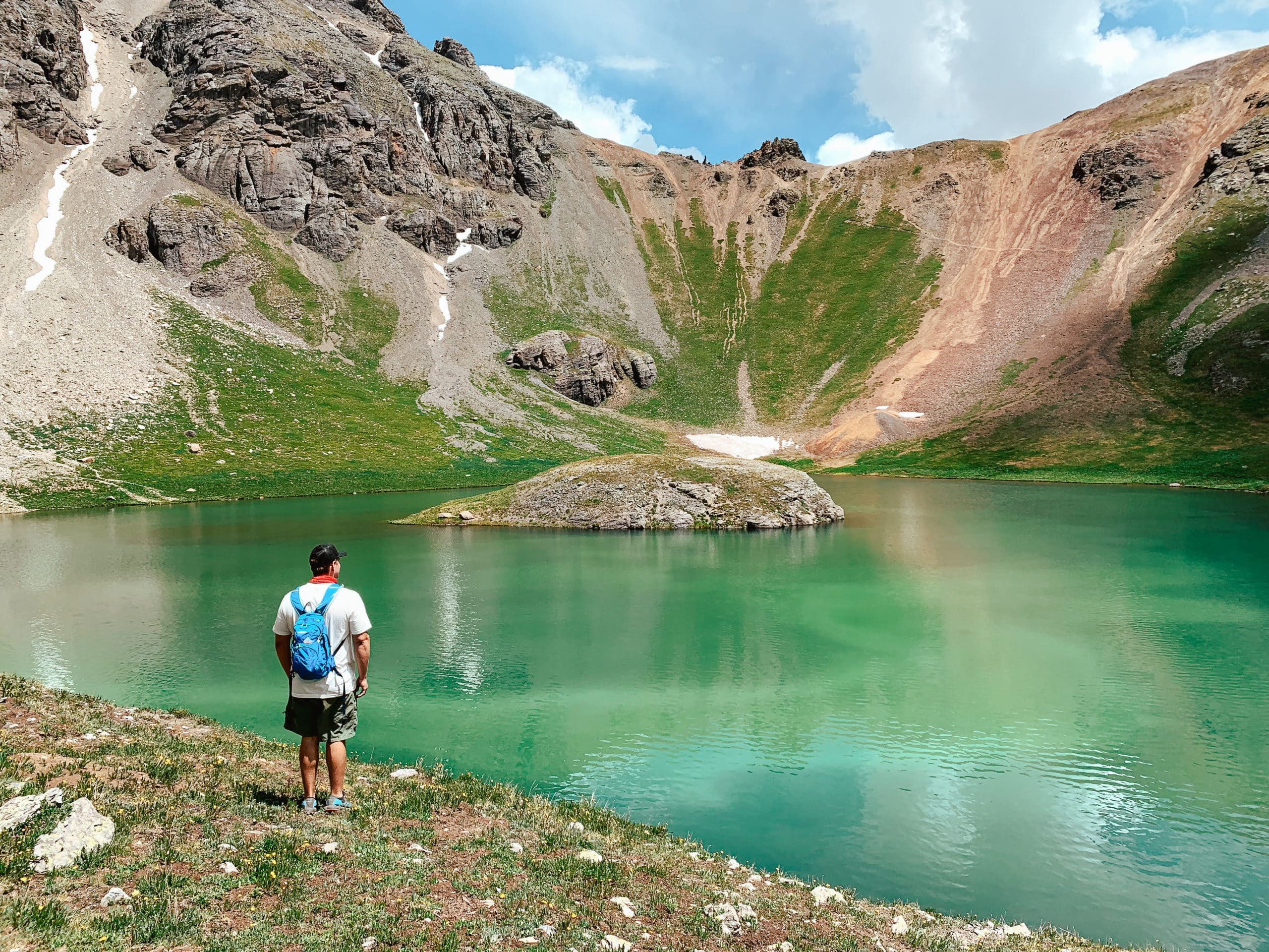
We arrived at the turn for Ice Lake but decided to keep the momentum going and make our first stop at Island Lake. Island lake was breathtaking! The colors of the lake were constantly changing with the lighting of the sky, with various shades of blue and turquoise.
And of COURSE, it is a must to jump in at least one of the lakes once you get to the top. After a refreshing dip in the lake, we made our way back to Ice Lake, and were not disappointed! Being the largest of the two, Ice Lake was a sight to behold.
I recommend resting your legs and finding and relaxing spot for a snack, and taking in the scenery.

Thee Pitts
Once you complete the Island Lake via Ice Lakes Trail, head back down to Silverton for some delicious barbecue at Thee Pitts (Again). Note that the restaurant closes temporarily in the winter and fall.
When we went it was up and running and the perfect recharge food after a long and difficult hike.
Food Network featured Thee Pitts on their Diners, Drive-Ins and Dives show. You can choose from a variety of options from, pulled pork, beef brisket, and pork ribs, to sides of seasoned fries, cornbread, and salad. A great bang for your buck and a mouth-watering experience!
Waterfall Campsite
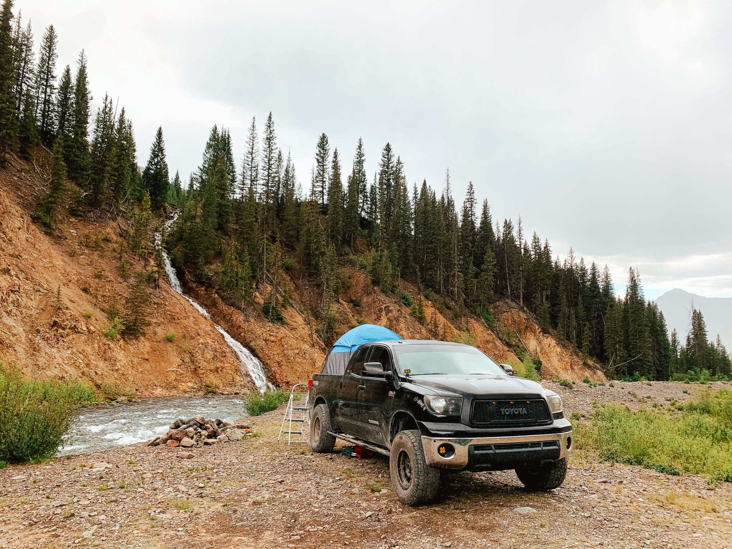
After a rejuvenating meal, head down to the beginning of Cinnamon Pass for a unique camping experience by yet another beautiful waterfall.
We set up camp and enjoyed looking out of our tent at the water, and watching the sun set behind the mountains. Enjoy your last night of camping at this calm and serene location by the Animas River.
Day 5 (July 6th): Pinkerton Hot Springs, Head Home
Pinkerton Hot Springs
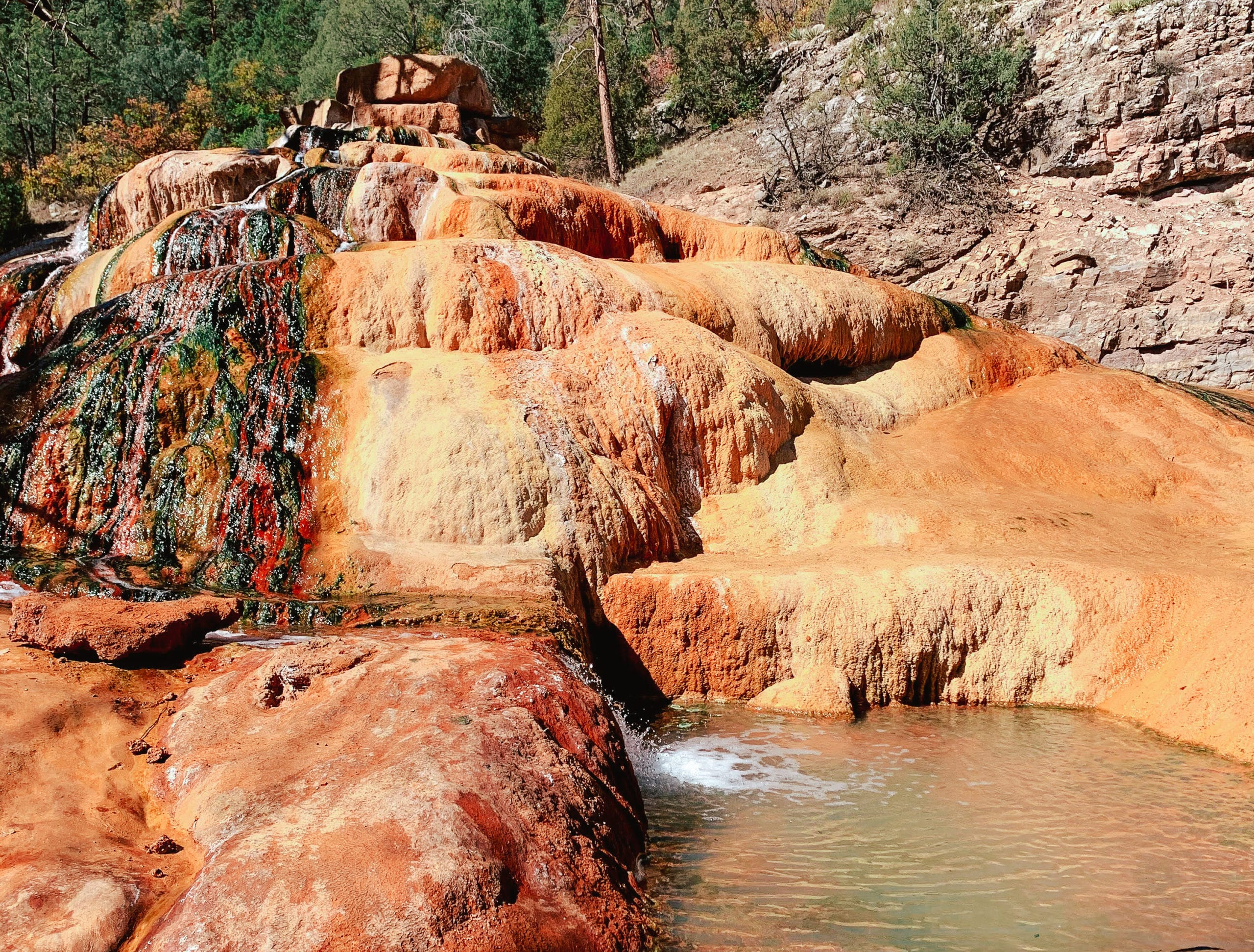
And just like that the trip has come to a close, we hope that this guide is helpful for you planning an epic camping trip to Colorado. After packing up camp and making your way out of Silverton, I highly recommend that you stop at this quirky hot spring, named Pinkerton.
As you near Durango, there will be a turnoff on the left side of Highway 550. The Pinkerton Hot Springs are marked with a man-made rock pile that was created to be a safe place for the hot springs to discharge. These rocks have grown colorful over time, due to the water’s minerals.
Your stop can be quick since this is a popular tourist attraction and the parking spots fill up pretty fast. But definitely a sight worth seeing and learning about.
When finished, continue on your way home, and have a safe journey!
Thank you for reading this blog on the most Epic Telluride and Silverton Camping Guide! We strive to provide you with the most current and need-to-know information out there, for an unforgettable experience. Be sure to visit our Travel Resources page for more things to do near Telluride, Ouray, and Silverton, Colorado!
[…] Camping in Telluride and Silverton Colorado […]